How to Read a City on Foot
A practical way to understand a neighborhood through its corners, shortcuts, signs and everyday rhythms.
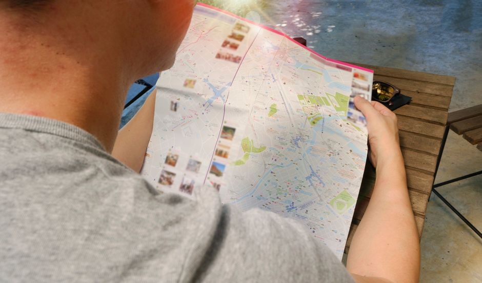
Walking is one of the simplest ways to understand a city because it keeps the scale human. A map can show distance, but only a walk reveals the slope of a street, the pause at a busy crossing, the smell from a bakery, or the small lane that locals use instead of the main road.
Choose a loose line, not a strict route
Mark a start point, an end point and one place in the middle that interests you. Leave the rest open. This gives the walk enough structure to prevent aimlessness while still allowing a side street or courtyard to change the plan.
Notice transitions. Where do shops give way to homes? Where does the pavement widen? Which buildings have chairs outside? These details often explain a neighborhood better than its landmarks.
Use practical anchors
Markets, libraries, parks and transit stops are useful reference points because they reveal how people actually move through an area. Stop for coffee somewhere ordinary rather than famous. Read notice boards. Look at what is sold in small groceries. Pay attention to benches: their placement tells you where a place expects people to linger.
At the end, trace the route on your map and add two or three notes. You may remember the walk by a particular doorway, a quiet square, or the moment the street opened to a view. That is the city at walking speed: not a checklist, but a sequence of lived details.